
Mapline is a great platform for deploying the animate shapes and structures that helps developers and other stakeholders to convert the spreadsheet-based geospatial data into location maps. It is one of the most powerful data management tools that sorts out the diverse demographics and Excel-oriented entries to create unique items. The users can add multiple components into the designs for signifying the three or two-dimensional visualizations with different components, such as heat maps, plan routes, ground areas, hills, boundaries, and other specifications.
Simply paste the valuable data into a format and get fast results without any cumbersome and complex coding expertise. The users may have complete leverage distance analysis and improve the performance reporting by fulfilling the diverse tasks in seconds. Multiple global organizations from different parts of the world have been availing of the plugins and basic tools to provide their customers and followers a complete comprehensive solution.


QGIS is an open-source geographic information system that allows operators to check the geospatial data from various locations and projections with complete visualizations. It includes the major source codes which make it a flexible utility for allowing users to make customized changes to the domain. The users can make the basic settings with detailed editing, vector illustrations, analyzing, and publishing database on Windows, Mac, Linux, BSD, and mobile devices easily.
The users can get deep insights at their available devices due to its lightweight functionality along with the personal desktop, server, in the particular web browser, and as developer, libraries to save and organize the items effectively. The module functions as (GIS) software that helps users integrate the composition and exploration to deploy the graphical maps. The program supports both raster and vector layers where the vector data is stored just like point, line, or polygon features by supporting the multiple formats of raster images.
The basic coding is set with standard plugins written in Python or C++ language, and it integrates with the following servers, such as PostgreSQL, PostGIS, SpatiaLite MySQL databases, PostGIS, GRASS GIS, Google Geocoding API, and several others. QGIS deals with various domains to perform the content shift, including the shapefiles, coverages, personal geodatabases, dxf, MapInfo, PostGIS, and other formats along with web services and external sources.

Mapbox Studio is an ideal geospatial database management program that helps developers to transform the GIS and other information into complete mapping visualizations with fonts, colors, 3D features, angle projections, and other components. The users can get the basic drawing options just like Photoshop, and make the splendid quality work by setting the images and other illustrations in a well-organized way. The variation in colors helps users change the layers to observe the complete road navigations, landscapes, POI density, typography, and much more.
The programmers may have complete control over the project by arranging the icons, textures, patterns, and other domains in a proper and customized way. The data can be imported or exported from any cloud or module to make choropleths, scaled point maps, and more by following a certain procedure. The cross-device compatibility supports the displays of various domains, such as styles with Mapbox SDKs for iOS, Android, the web, and embedded gadgets without any complex coding.

MapTiler Cloud is a well-integrated navigational program that allows developers to build unique maps by turning the database into smart visualizations like the 3D look, terrain, landscape, greenery, satellite overview, geodata, and a lot of other locational deployments. If you are new to the site and have less expertise in coding domains, then the ideal module is waiting for your creative & innovative skills, so avail the online digital maps for web and mobile programming without any complex coding skills.
It provides the fastest way on the market to serve proper formats to your clients, and all the information is shared instantly with quick processing efficacy. The beautiful shades and graphics quality helps general people understand the addresses and other GIS details comprehensively. The module gets synchronizations with Google and other satellite crawling features to browse the information for setting the basic items easily like streets, paths, roads, and other directions.
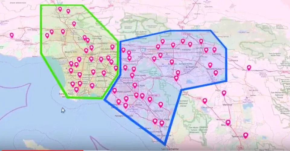
PostGIS provides effective commands for exchanging the geographic information into complete visualization to set the navigational helping maps with sound graphics quality. It supports the various locations of the PostgreSQL object-relational database by deploying backend spatial specifications (GIS) like ESRI’s SDE or Oracle’s Spatial extension. The program supports the various server integrations for enabling the diverse components to be used as a collective interaction.
There are various additional components and tools available, including basic topology support, data validation, coordinate transformation, programming APIs, and other plugins, etc. The main product development was actually initiated by Refractions Research as a project as an open-source database technology under the GNU General Public License. The module has many packaged installations for operating systems like Windows, Mac, Linux, and the customize settings help build the repositories according to the personalized needs.
SpatiaLite supports the geodatabase functionality that helps developers build customized navigational tools to formulate the maps and directions with well-illustrated specifications. It includes a spatial extension to SQLite along with vector GIS information support which is similar to PostGIS, Oracle Spatial, SQLite/SpatiaLite besides the client-server architecture to deal with common persons easily. The powerful SQL engine is directly embedded within the application to get a complete database simply as an ordinary file that can be freely copied and transferred from one computer or OS to a changed one without any special precaution.
For the implementations of the raw structural settings, the manipulators can set the advanced sequenced queries for supporting the multiple map projections. The program can be integrated with various operating systems to get them working functionality with Linux and Windows as a software library as well as several utilities for arranging the all-in-one interactions. The major components are comprised of line tools that extend SQLite’s own with spatial macros, a graphical GUI for deploying, and a simple desktop GIS tool for browsing data.
Map3 is a secure and fast processing map development platform that provides basic plugins and tools to control the decentralized map network with extremely robust customizations. The users can set the general projections of directory modifications without mighty knowledge of the programming and coding skills. The programmers may have complete control over the project by setting the icons, typography, textures, patterns, and other plugins in a proper and customized style for unique visualizations.
Map3 is free of cost and anyone can start the project easily with the participation of multiple collaborators to deploy the base setup along with minor and major components. With the help of source codes, it will be easy to formulate the global Map3 community where individuals and organizations of all levels can host Map3 nodes and provide useful illustrative content to be distributed on the generalized domain.

MangoMap is an online GIS supportive platform that allows you to create web-oriented maps and navigational tools to cover the geospatial database with effectiveness. It is advanced functionality that is equally beneficial for professionals or inexperienced users to start the project without complex technical assistance. The users can watch the free trial version with complete details and bother about the services and output results with sign up.
It is an ideal domain for deploying the amazing interactive web maps into different projections with fully highlighted special areas like hills, landscapes, terrain, smooth surface, hills, and several other features of the globe. The module provides the quick and lightweight working functionality for converting the spreadsheet-based data into the proper structure and personalizing the experience with a seamless workflow. The platform protects the credentials and sensitive information with 128-bit encryption and other strong safety measures and keeps data in the cloud. The world’s famous information technology organizations have been availing the services and recreating the attractive draws with the help of demographic settings and graphics quality.

Spotzi Mapbuilder is an effective and fast database converting platform that allows developers to create web maps and locational projections by highlighting the special areas and parts. It is a great source for modifying the GIS and physical appearance into visualizations by dragging the data files from the cloud or any other domain. With the help of illustrated specifications, the users may have a complete analysis and estimation of the maps. If you want to explore the customize options, then enter the name of specific items into a default box and get instant results.
The users can complete their work by making the sign-ups via email address and password and have a deep insight into the intuitive dashboard. All the basic structures are integrated with the satellite that helps designers to analyze the overall dimensions and specifications with critical analysis. With the assistance of advanced plugins and components, the users can add customized filters and navigational supports to the existing maps.

Indiemapper is an amazing internet mapping tool that facilitates you building customized locational drawings and patterns by collecting the geospatial database. It is a fast processing module that provides static and thematic assistance from geographic domains to arrange complete functions in the form of unique templates and projections.
The users can get the complete estimation by observing the various colorful impacts, and the common people can easily understand the specific areas with the help of heat maps and shades, as they have to tap the option for shifting the latest significance. There are multiple templates available with the program which can be modified or recreated according to the customized needs.
GeoSHAPE is a flexible repository that allows users to create the geospatial database into a unique map by connecting the information from diverse sources and clouds. It is a great source to modify the plugins and components as the major source codes are available and inexperienced or new users can easily understand as well. It provides great integrations with other clients and hosts where the programmers can set the dimensions according to the cross-devices support and compatibility. The program is embedded with various assisting toolkits, such as GeoNode, Geoserver, GeoGig, Arbiter, and several others to make sure the complete configurations with other components.
The forum has an open environment and policy for all the developers to share their opinion and constructive guidelines for making a better experience for general manipulators. The platform has been allocated as a freemium domain for serving the various social causes, such as security, humanitarian assistance, partner Engagement, and various other non-profitable projects that would ultimately benefit the common people.

Mapotic is a great service for visualizing the crowdsource data where the developers can make unique maps and illustrations by transforming the information into the proper beautiful format with color and other highlighting features. It is an instant digital media protocol that provides effective commands for deploying the backend and easy integration into the existing systems by sorting out the in-range database. It is a SaaS-oriented service that helps organizations and personal users to leverage the overall potential of the raw content with ease.
The particular navigation assistant helps the public sorting out the different destinations comprehensively like wildlife tracking, travel, tourism, IoT telemetry, governance, and others. The users can track the dynamic data and queries easily by connecting people with the same interests to share and exchange knowledge as a reliable user experience. The module has been providing services to multiple businesses and IT institutes and have emerged as a flexible and reliable forum for deploying the location context.

Leaflet is a dynamic map-creating platform that helps programmers to deploy the geodata into comprehensive and beautiful shapes by dragging the details from an open-source JavaScript library. One of the prominent features of the module is the simple usability that enables users to get functionality across various devices and systems. It supports multiple desktop browsers, such as Chrome, Firefox, Safari 5+, Opera 12+, IE 7–11, Edge, and the diverse configuration creates an effective connection with other components.
The users can control the working functionality with basic options, such as keyboard shortcuts, scroll wheel zoom, marker dragging, pan animation, markers, popups, layer switcher, layer, resolution capability, dimensional projection, and several others. The plugins and components can be easily modified as a well-documented API and collaborated with multiple other channels and utilities as a simple and readable functionality for the internal system.

CartoDB is a cloud computing platform that provides spatial databases like GIS, web mapping, location, and other intelligence projections by collecting the various information of digital assets to the main place. The module functions as an open-source software built on PostGIS and PostgreSQL that provides programming assistance by getting the directions with JavaScript as lightweight processing.
For the productivity and increase in the business module, you will have to judge the complete design and supply chain by observing internally or externally the raw database with available portfolios. The users can discover and integrate the cloud-native, on-premise, and hybrid deployments to collaborate with multiple global brands and products. The platform provides the tools with an aptitude for data analysis and visualization to specify the various dimensions and potential of the websites.
Google Maps Engine was a reliable and top-rated choice for the developers to formulate the geospatial database into well-integrated web maps and navigational assistant structures. It was an ideal domain for deploying the amazing interactive templates into different projections with fully highlighted special areas like hills, landscapes, terrain, smooth surface, hills, and several other features of the globe.
The users could ask the questions without any hesitations and make the tools according to the best of available plugins and compatibility for supporting the interfaces and displays. It had kept all the data safe and encrypted that could be fetched any time from strong cloud servers and vice versa. The tool has been discontinued and doesn’t provide the services at the moment, and the users don’t need to worry at all about the credentials and other personal information, as all the queries and items have been deleted systematically.