
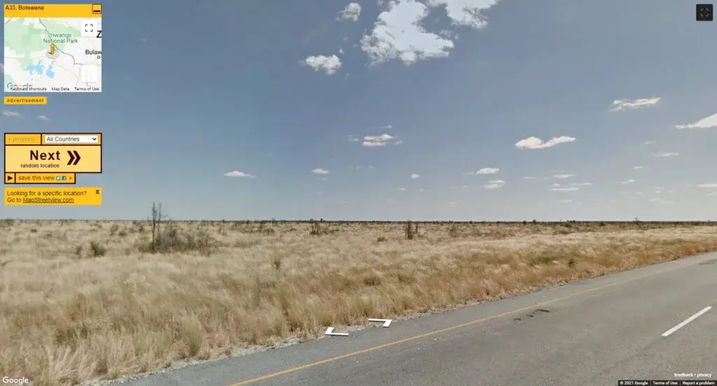
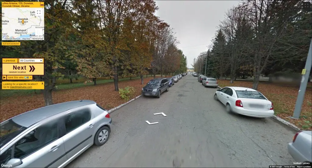
Random Street View is a unique online interaction if you are interested in mapping or geo-locations as it helps people to watch any global place with real-time visualizations. You can draw any map to decide on the position and size of the objects you want to draw by moving the cursor and mouse and to the random locations for finding the desired location easily. The users can bring all the natural objects into streets like trees, flowers, animals, and birds to create a realistic view and feelings.
The users find the diverse locations by feeling the presence into the streets to check how they look like in addition to drawing lines in them with manual placement. It offers a touristy kind of experience where the people can watch a street or someplace and explore the other places and views nearby. You will instantly be able to see the street view in 360-degrees, which includes interactive buildings and aerials with awesome clicks.

Fast Street View is an easy-to-use map navigation platform that lets you explore the different areas of the world by entering the name with instant results in the form of 3D projection or clear insights. Using a completely new way to see and experience your favorite places on Earth, if you have not explored any before then the program is a special and effective tool to find your wishes come true.
Fast Street View’s mission is to seamlessly map the world so that people can enjoy exploring the places closest to us with their special projections via high-quality resolutions. The platform has a unique API plugin that can be integrated into any app or website without installing any additional tool or extension, just enter the link of the site to the browsers and get fast results.
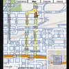
MapStreetView is an online portal allocated as a navigation tool where you can get the orientation of different locations by entering the name of that particular place. It includes numerous features like finding the shortest route, upgrading and downgrading the routes, Map street view, and much more. It is a navigational tool available 24/7 that can be accessed from anywhere in the world to explore the great features of the land with natural beauty and geographical orientations.
The purpose of the platform is to provide users with all necessary information about the countries, states, regions, and cities around the globe. There are some useful functions, such as the practical one for discovering places for travelers and tourists as well as for conducting the geological survey. The viewers can find information in a quick and easy way, find any address or place, save it to favorites or share it on social networks like Facebook, Twitter, Instagram, or any other forum else.

Instant Street View is a Google map interface-supportive location exploring platform that enables you to find the required place and area with complete projections. It is actually a user-generated panoramic street-level photo-mapping project that allows people to explore the critical overview of map events to the streets. It is an online interaction that supports a map interface and offers users to explore live projections of the area around them.
The forum gives you a real-time view of places around your locality for navigation that are accessible to the public when you want it. The site carries a map supportive exploration platform that provides you with the required place and area with projected results. One of the highly-appreciated features of the application is that even before visiting a particular area, one can travel around the particular area and get to know the exact location.

OpenStreetCam has been shifted to the KartaView name domain that is allocated for the people to watch the different places of the world along with the image uploading command. The organization has developed KartaView with the aim of helping them to provide an interactive and amazing map experience to the people. It is a smart platform that has been designed by experts and curious geologists to engage the maximum audience with unique and high-resolution pictures and projections.
The forum has been developed with a view to providing more information about the street maps and almost all the important cities along with images of different locations. The module is only used by the ordinary people but also by a large number of professional people from around the world to set travel plans in future. Some of the salient features are following actual driving commands, recording of local territory domain, and many more.

eMaps is an advanced satellite-based navigational tool that is developed to see the different dimensional projections of various locations, such as smart cities, countries, streets, or any others. It can be used to indicate the existing roads and traffic conditions, as well as helping to determine how to get from one place to another through the use of GPS technology or navigation tools.
The users enable you not to use the traditional 2D map visualization with straight roads or 3D maps with cliffs and hills; rather visit the official domain to get access to all the projections. The platform provides a new way of navigating on earth by combining the advantages of both 2D and 3D maps. The users can explore the complex features, such as topography (hills and valleys), bridges, tunnels, and roundabouts, and other locations with ease.

Mapillary is a geo map modifying platform that encourages people to capture the photos with cameras to make the collection of visualizations with more updates. The module enables photographers to capture photos with cameras to shape a growing number of videos or simple files for sorting out the details of the particular places. By using visualizations, people can imagine the world from other people’s viewpoints and they get an increase in interest without the will to go to that place actually.
People can get to know the area and people in a different way, so they can do all that with simple steps and procedures by entering the default links to the browsers. The images captured by the personal users will be added to a global database and stored for anyone to see, and that can be modified or shared with others as a valuable experience.

MapCrunch is an amazing map navigation platform that allows you to explore the various places of the world by watching the unique images and 3D deployment of the items. It offers the latest information on a particular place which is made possible via the combination of the best images available on the internet. That can be achieved by experiencing the locale as if you are there through a video or photo by depicting the exact projection of the place.
The main & foremost aims to showcase the best places in the world as it brings a whole new perspective to the maps and navigation for the common people from all over the globe. The platform is embedded with a powerful ability to provide a great deal of information in a very short time by projecting the different areas and public places with high-quality resolutions.

Brick Street View is a valuable program that is created for people for observing the critical view of different locations by displaying each and every symbol and item. It is an important tool for people when they want to view their homes or any other places. It is quite similar to the other typical projects, but it has various features like searching, instant results, and good quality interaction.
The program has already been developed by a group of enthusiastic professionals who are well-known with the latest trends and technologies to propagate the global map. It enables the users to search their own address in the search box provided on this platform which will then show the complete street view of that particular address on the map.

Showmystreet is a simple to use online mapping tool that lets you search the specific street or place by entering the name of the location like Google map. The functions are intended to be used by people who have limited knowledge of global areas and it is developed in order to make it easier for them to find where they need to go.
It is a comfortable way to explore the streets of the world from the comfort of your own home. It is a crowd-sourced mapping platform that provides users with a simple, fast, and easy way to search for streets in the UK, USA and Canada, and others. The users can search for locations by entering commonly used street names, such as main, first, and other main and famous places.
vPike is a helpful tool from traveling and exploring perspective by allowing users to sort the public places or any special sites with multiple options like weather, famous building, and many others. It carries a lot of popular places to visit and is one of the most visited interactions due to the Google map integrations. It offers a wide variety of luxury shopping, historic sights, and fine dining to the single place.
Finding the information about a place you are going to travel to is always a challenge, especially if you are not familiar with it, there are a lot of things which you do not know before. vPike is trying to collect information about a place and connect travelers with people living there to highlight the significance. The entire data is collected manually by the team to filter out all the duplicates, fake information, or any other kind of incorrect data.

StreetViewFun is an amusing interaction with the people and kids where they can share their images to the forum for displaying the significance and projection of the location. It is a virtual exploration of the world that enables you to walk down any street in any city on Earth. In addition, the interested people can also find the world group from the interactive map to explore the hidden and great features of the globe.
You can now expand your world through Street View to your neighborhood park, your school hallways, or even your own bedroom. It enables people to share their images from various places or different locations with friends, followers, and users. It gives an opportunity for people to interact with each other and display their images in a forum. The main objective of this project is to enhance the ability of the public and make the street view interactive in such a way that it would be possible to share one’s own images to add to the database.

Earth-Scout is an instant location searching platform that helps users sort out the world’s famous places, streets, monuments, and others. The users can simply hover over the map and see the locations being searched by sorting out the famous and well-renowned places and monuments. It is free to use and to help people in that way to keep the app ad and user tracking free.
It’s a perfect app that lets you research information in hundreds of well-known places such as national parks, airports, transit centers, cities, and many more. The users can watch the images and components available in the picture by tapping them manually or zooming them to magnify the specifications in less time. There are some salient features available, such as Google-based map, 3D projections, exploring cities, unique places, and many more.

GeoGuessr is an online gaming experience that allows you to make the world tour by having the imagination to be anywhere across the globe with the discovery of language, symbols, culture, and other diversity. It is one of the most popular games across the globe and it is available for users to access through the internet. The game has a feature that makes it easy for you to travel across the globe and step into a new language and culture without any problem or cultural complexity.
Using this game makes it easy for you to learn that particular language, its symbols, and many things. The person who is in love with games can play this game in their free time and can feel like they are traveling in traffic while playing this game. The goal of the game is to guess where you are in the world by figuring out the country, linguistic, and the symbol which is the significant aspect of any region.

Microsoft Streets and Trips was a popular program for exploring the various components from the maps like streets, transportation, boundaries, and others easily. The program was running till this date and was very popular among the users, but there is good news for those who were using this program as the service is shifted to the more advanced alternatives. The program was mostly used by truckers and travelers; they utilized the program to get all the information they needed to travel efficiently.
Transport drivers and tourists relied on this program as it helped them in avoiding lack of interaction and communications to drive. All the individuals who were using this program were devastated after Microsoft has abandoned the service due to high reliability and optimizing factors. The program was embedded with multiple valuable features and several were added with more and more features like streets and some other data collections or graphics.

YouAreThere360 is a real-time map assisting platform that facilitates you to check the various global locations by moving the cursor as navigation to watch places, roads, and other components. It offers a platform that allows users to view and makes use of large amounts of data. Access to big data at different levels such as maps, satellite images, and 3D models, enables any business to perform large-scale analysis quickly and accurately.
With the online interaction, you can also check out local places as per your interest level according to the deployments and curiosity. You can move the cursor freely on the map and reach any location by following real-time navigation. The map provides navigation information, such as approaching direction, distance from destination place, speed limit, sings, traffic conditions, and more. By moving the cursor over the map, you can get street names, warnings for highways and bridges along destination place info.